VolksNav in London
Click or doubleClick a point on map to know the logical area code of that point
Area codes consist of hours, minutes and radius according to following convention:
| StatusQuo(c) London | prefix of an area code | The urban pole is the London Tower |
| m12 | basic horizon hour | from urban pole to north, m3 to east etc. |
| number after the " : " | horizon minutes | distance to the horizon hour, in steps of 100 meters The blue lines on grid show :50 minutes |
| r... | radius |
distance to the urban pole, in steps of 100m. |
This map converts lat/lon to StatusQuo(c) on a simplified mode, tolerable for radius < 10 km. For a professional conversion, see VolksNav.com/mapplet
This method allows to define codes for stations and stop points, line codes and line logos, example Jubilee line
| from m10 to m1 via m6 | from m1 to m10 via m6 |
 say "line ten six one"
Station codes:
| name | time/space | radius |
|---|---|---|
| Stanmore | m10:30 | r202 |
| Canons park | m10:22 | r190 |
| Queensbury | m10:12 | r177 |
| Kingsbury | m10:5 | r165 |
| Wembley Park | m9:64 | r155 |
| Neasden | m9:55 | r132 |
| Dolis Hill | m9:52 | r125 |
| Willeden Green | m9:50 | r112 |
| Kilburn | m9:47 | r100 |
| West Hampstead | m10 | r93 |
| Swiss Cottage | m10 | r80 |
| St. John's Wood | m9:33 | r75 |
| Baker st. | m9:19 | r59 |
| Bond st. | m9:9 | r52 |
| Charing cross | m9:2 | r33 |
| Waterloo | m8:11 | r26 |
| Southwark | m8:9 | r20 |
| London bridge | m8:2 | r7 |
| Canada West | m3:8 | r18 |
| Canary Warf | m3:2 | r38 |
| Canning Town | m2:21 | r58 |
| Stratford | m1:24 | r64 |
The division of the horizon into 12 directions can also be used global or indoor. Examples:
British Museum / Goldsmiths / Hyde Park
-----
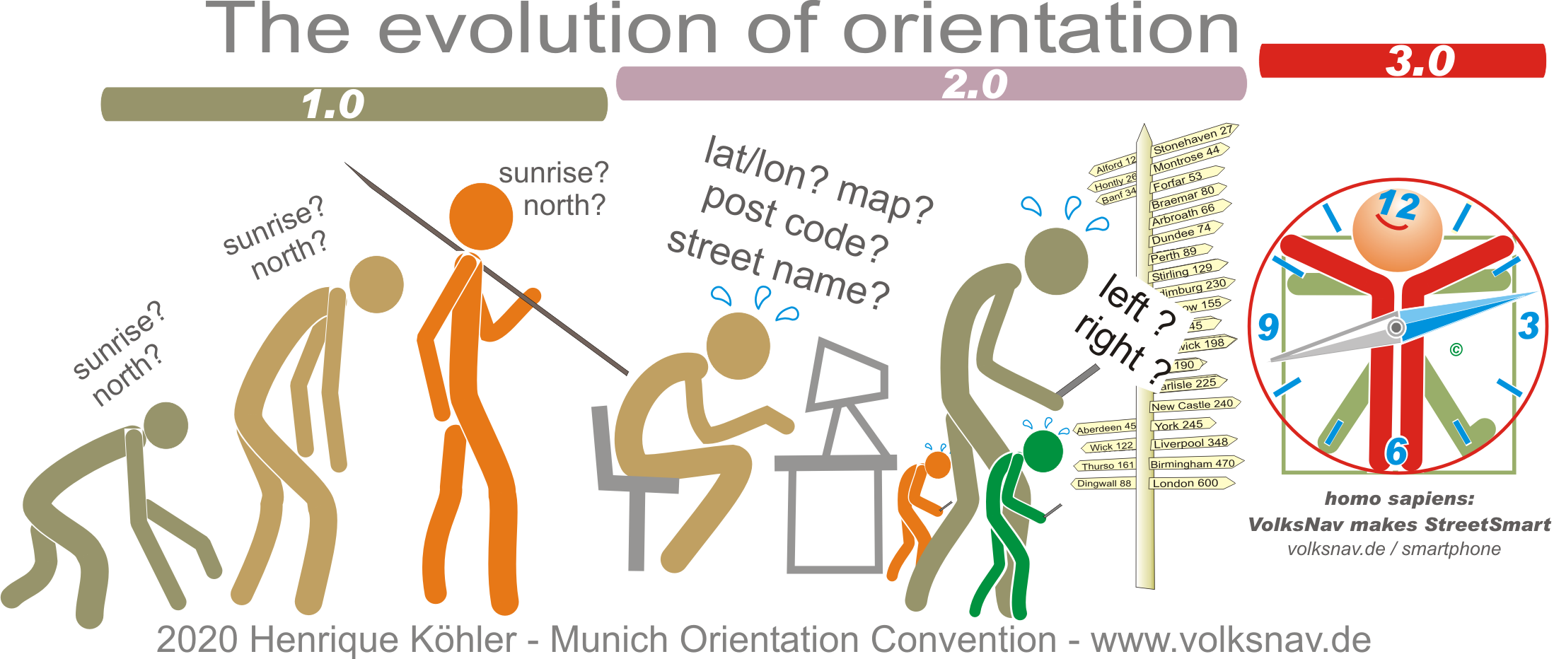
Evolution