VolksNav(c) in Yaounde
Click or doubleClick a point on map to know the logical indoor or urban address of that point
The convention for urban position codes is:
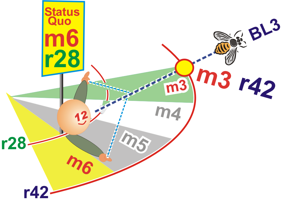
| StatusQuo(c) Yaounde | prefix of a position code | The urban pole is the Place Ahmadou Ohidjo |
| m12 | basic horizon hour | from urban pole to north, m3 to east etc. |
| number after the " : " | horizon minutes | distance to the horizon hour, in steps of 100 meters The blue lines on grid show :50 minutes |
| r... | radius |
distance to the urban pole, in steps of 100m. The red circle shows r100 = 10km. |
Alternative location codes see www.volksnav.de/Alternatives.
The division of the horizon into 12 directions can also be used global or indoor. Above indoor example is the University campus witn the Rectorate as the indoor pole.
Starting with the Actions for Sustainable Development Goals Week 2021, anyone can test the benefits of imaginary clocks within the campus with the help of treasure hunting tasks.
You won't find any signage or maps. The treasure to hunt is the rediscovering of a NON-artificial intelligence: your IMAGINATION!
As alternatives to the right/left navigation, you can find the treasures acc. to the following navigation methods:
|
||||||||
B) VolksNav / EXOcentric navigation, similar to geocaching. The center of the clock is the Rectorate. The VolksNav app can be used, but the tasks can be performed simply with some brain work. Starting point: anywhere within the campus |
Instructions and tasks:
A1) EGO ZZ
o be defined
---------------
A2) EGO ZZ around the BL
to be defined
------------------------------
B) VolksNav indoor
to be defined
The app VolksNav in Cameroon identifies 20 cities and also this campus. It switches automatically to indoor location codes...
Advanced users can find the target also without the app
--------------
VolksNav urban
to be defined
----------------------
 |
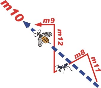
Other than with geocaching, advancers will compare the time and radius codes, form a beeLine and follow the BL with ZZnav. The hunter on picture came to the conclusion that he must go to outside and to earlier. On sector m6/south this would be BL = m3 / sunrise or BL4. This sounds complicated but is very intuitive in a real situation, . |
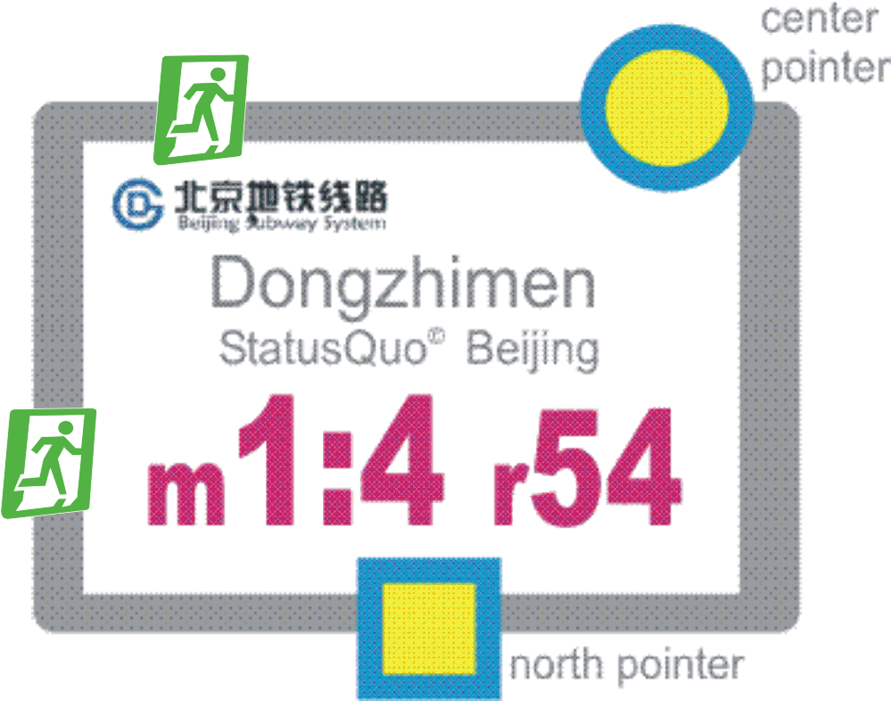
Signage like on picture will substitute the app.. The sign answers the question "where am I?" and points to north/m12, center of clock, WC, all emergency doors etc.
|
 |