VolksNav in Toronto
Click or doubleClick a point on map to know the logical area code of that point
Area codes like "Wilson station Toronto m11:7 r114" consist of hours, minutes and radius according to following convention:
| element | meaning | details |
|---|---|---|
| StatusQuo Toronto | prefix of an urban position code | The urban pole is the TV tower |
| m12 | reference horizon hour |
from urban pole to north, m3 to sunrise, m6 to south etc. |
| number after ":", e.g. m12:5 | horizon minutes, blue lines |
distance to horizon hour,
|
r..., e. g. r66 |
radius, red lines |
distance to urban pole, 1 unity = 100m for Google Earth download Toronto_r100.KML |
This map converts lat/lon to StatusQuo on a simplified mode, tolerable for radius < 10 km. For a professional conversion, see VolksNav.com/mapplet
--------
The division of the horizon into 12 directions can also be used global or indoor.
Station codes / line codes / line logos
from m9 to m1 (speak line nine one) |
m1 to m9 (one nine) |
m10 to m11 (ten eleven) |
m11 to m10 (eleven ten) |
:
| name | time/space [minutes] | radius |
|---|---|---|
| Highway 407 | m10:80 | r190 |
| Pioneer Village | m10:80 | r180 |
| York university | m10:82 | r173 |
| Finch West | m10:75 | r160 |
| Downsview Park | m11 | r144 |
| Sheppard West | m11:8 | r134 |
| Wilson | m11:7 | r114 |
| Yordale | m11:4 | r103 |
| --------------------------- r100 transition | r100 | |
| Lawrence West | m11:2 | r93 |
| Glencairn | m11 | r86 |
| St. Clair West | m11:4 | r52 |
| Dupont | m11:5 | r40 |
| Spadina | m11:2 | r31 |
| St. Geoge | m11:6 | r31 |
| Museum | m11:9 | r28 |
| Queen's Park | m11:8 | r20 |
| St. Patrick | m11:6 | r15 |
| ------------------- E / W transition | ||
| Osgoode | m12:1 | r10 |
| St. Andrew | m12:2 | r7 |
| Union | m1:3 | r7 |
| King | m1:3 | r11 |
| Queen | m1 | r13 |
| Dundas | m12:5 | r17 |
| College | m12:3 | r21 |
| Wellesley | m12:2 | r26 |
| Bloor/Yonge | m12:1 | r32 |
| ------------------------ E / W transition | ||
| Rosedale | m11:18 | r38 |
| Summerhill | m11:20 | r44 |
| St. Clair | m11:21 | r51 |
| Davisville | m11:24 | r62 |
| Eglinton | m11:28 | r72 |
| Lawrence | m11:36 | r94 |
| ------------------------- r100 transition | r100 | |
| York Mills | m11:43 | r114 |
| North York | m11:53 | r142 |
| Finch | m11:58 | r156 |
------------
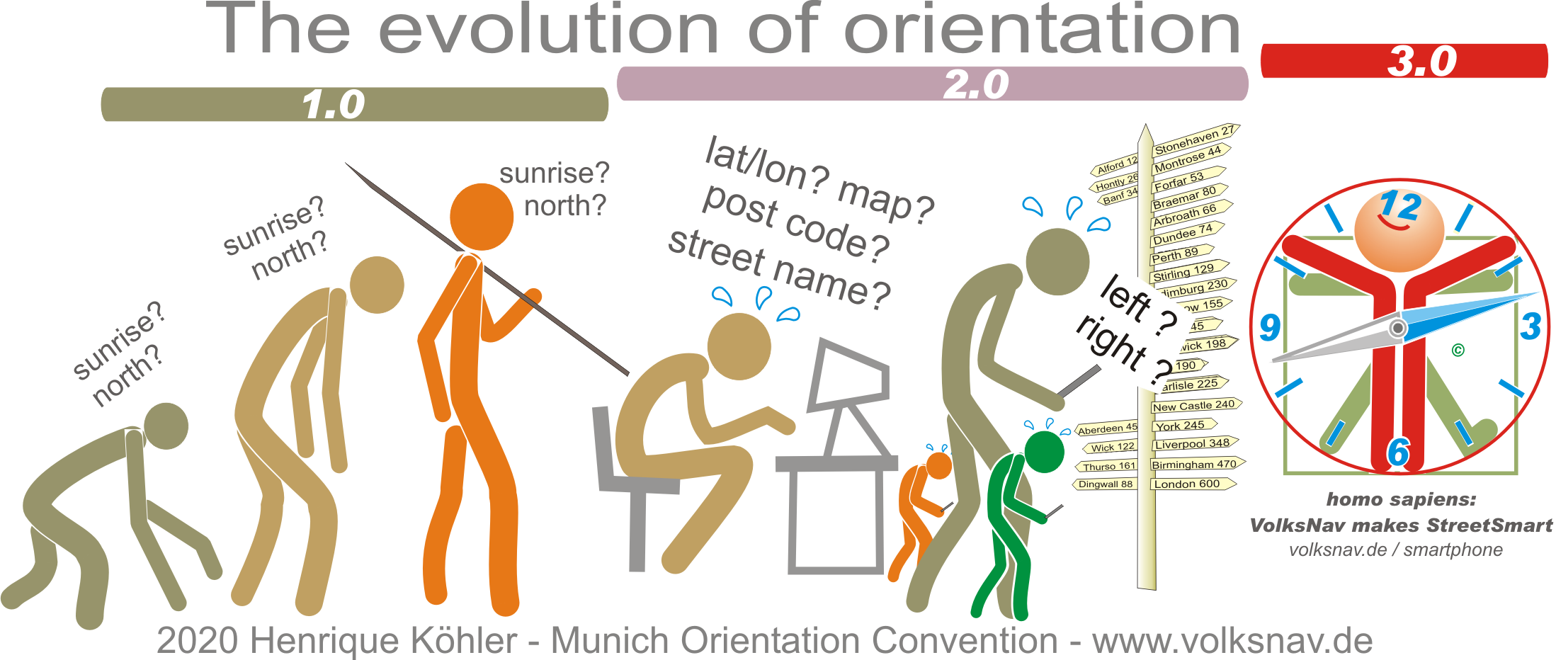
Evolution