VolksNav in Rotterdam
Click or doubleClick a point on map to know the logical indoor or area code of that point
Area codes consist of hours, minutes and radius according to following convention:
| element | meaning | details |
|---|---|---|
| StatusQuo Rotterdam | prefix of an urban position code | The urban pole is the Erasmus bridge |
| m12 | reference horizon hour |
from urban pole to north, m3 to sunrise, m6 to south etc. |
| number after ":", e.g. m12:5 | horizon minutes, blue lines |
distance to horizon hour,
|
r..., e. g. r66 |
radius, red lines |
distance to urban pole, 1 unity = 100m |
This map converts lat/lon to StatusQuo on a simplified mode, tolerable for radius < 10 km. For a professional conversion, see VolksNav.com/mapplet
--------
The division of the horizon into 12 directions can also be used global or indoor.
Example: World Trade Center
 1 unity = 1 meter
The method allows to form station codes, line codes and line logos, example line A
Line from m8 to m1 or m1 to m8:
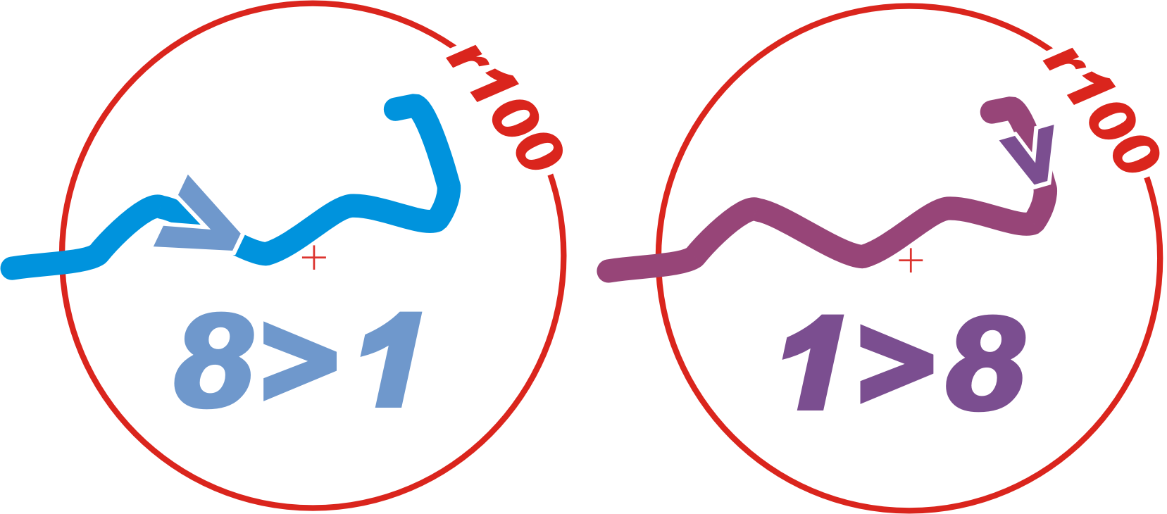 Say "line eight one" or "one 8"
| name | time/space | radius |
|---|---|---|
| Vlaardingen West | m8:53 | r117 |
| Vlaardingen Centrum | m8:43 | r97 |
| --------------------------------- north/south transition | ||
| Vlaardingen Oost | m9 | r85 |
| Schiedam Niewland | m9:15 | r72 |
| Schiedam Centrum | m9:14 | r54 |
| Marconiplein | m9:4 | r36 |
| Delfshaven | m9 | r28 |
| Coolshaven | m9 | r19 |
| Dijkzigt | m9:3 | r14 |
| Eendrachtsplein | m10:3 | r11 |
| Beurs | m11:2 | r12 |
| ---------------------- east/west transition | ||
| Blaak | m12:2 | r12 |
| Oostplein | m12:8 | r17 |
| Gerdesiaweg | m1:3 | r23 |
| Voorschoterlaan | m1:7 | r25 |
| Kralingse Zoom | m2:5 | r35 |
| Capelsebrug | m2:13 | r51 |
| Schenkel | m2:5 | r59 |
| Prinsenlaan | m1:24 | r59 |
| Oosterflank | m1:21 | r62 |
| Alexander | m1:16 | r65 |
| Graskruid | m1:11 | r68 |
| Romeynshof | m1:5 | r70 |
| Binenhof | m1 | r65 |
Example for VolksNav: the distance from
| station Beurs m11:2 r12 | to World Trade Center m11:3 r12 |
is: :3 - :2 = 1 urban minute = 100 meters clockwise
------------
Evolution